AI-Driven Mapping Tool Streamlines Editing Process
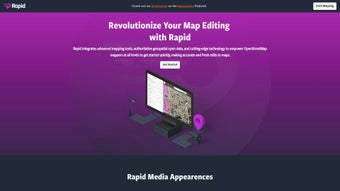
RapidEditor is an innovative web-based application designed to enhance map editing through the use of artificial intelligence and open data. This tool integrates advanced mapping features with authoritative geospatial data, allowing users to streamline the editing process without the need for traditional manual geometry drawing. By analyzing satellite imagery, RapidEditor provides insight into unmapped areas and missing data globally, which helps mappers focus their efforts where they are needed most.
The user-friendly interface of RapidEditor facilitates easy navigation for mappers of all skill levels, making it accessible for both beginners and experts. It emphasizes humanitarian mapping efforts, offering community task mapping for projects aimed at assisting those in need. Additionally, users can connect with the broader mapping community through various channels, ensuring they stay informed about the latest developments in the field. Overall, RapidEditor represents a significant advancement in the realm of map editing, merging AI technology with open data for efficient and effective mapping.